Become an URBAN volunteer! URBAN will monitor water quality and use biological indicators to represent water quality in streams and wetlands of the Hamilton region. Continuous water quality monitoring is essential in detecting potential threats to one of the world’s greatest fresh water resources, the Laurentian Great Lakes.
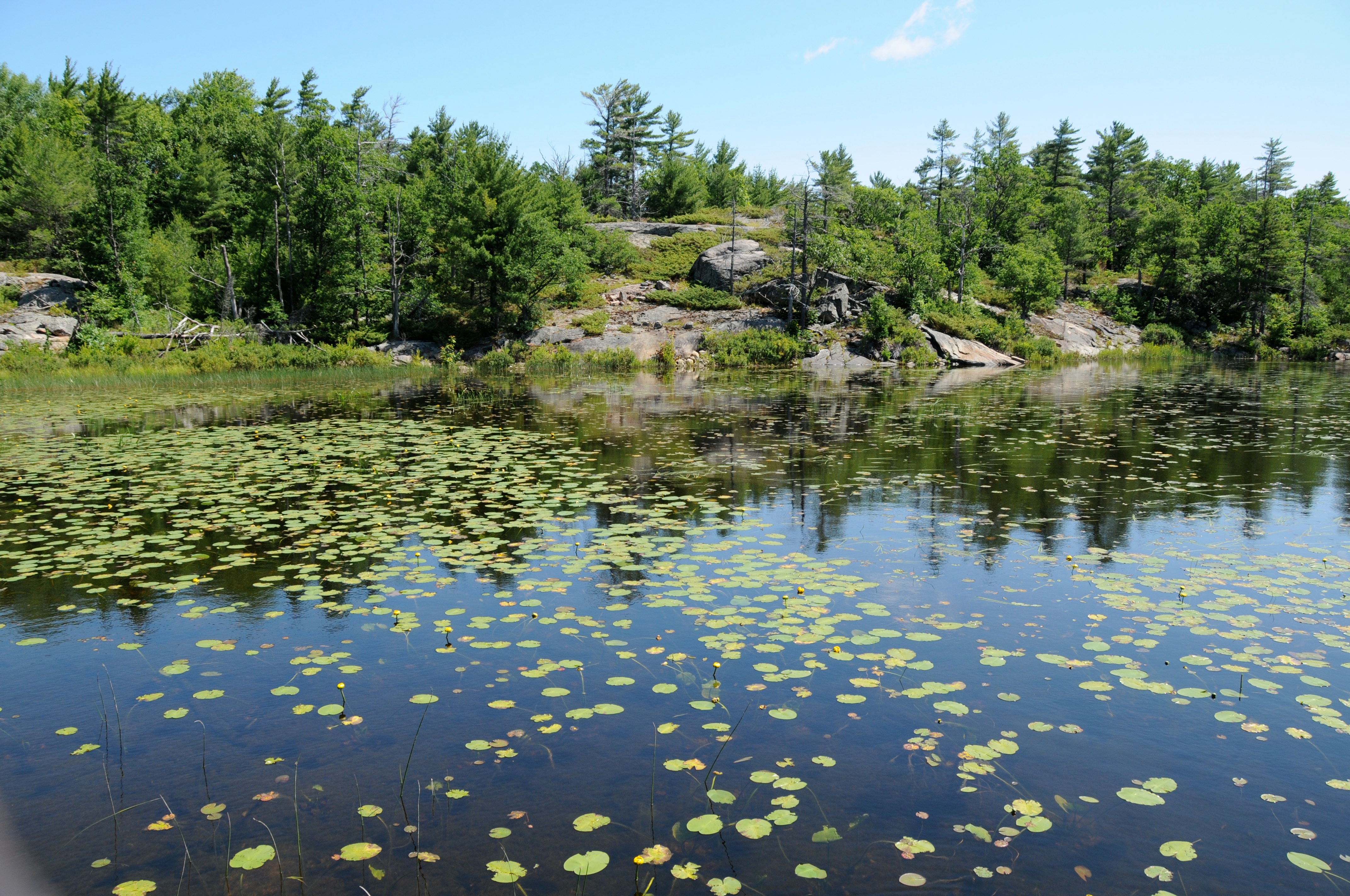
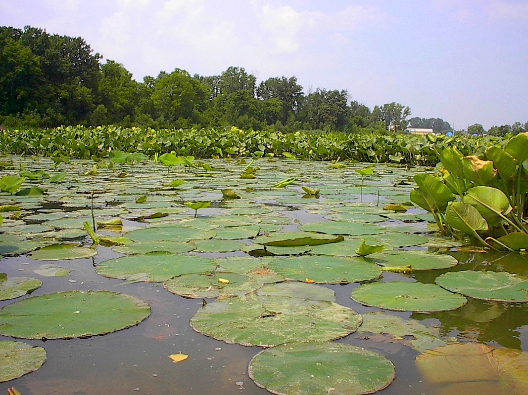
Water quality is a scientific term that we use to refer to a number of commonly measured parameters including the ionic properties of the water (conductivity, pH, salinity, total dissolved solids, dissolved macro and micro nutrients), the dissolved oxygen content or physical properties of the water (e.g. temperature, colour), the amount of suspended solids in the water (e.g. reflected by water turbidity, chlorophyll a content, total suspended solids, and Secchi depth) and the level of bacterial contamination. These parameters vary according to wetland geology and geomorphology, as well as the type of human activities in the watershed (e.g. agricultural, urban and industrial development). The amount of nutrients in pristine wetlands tend to be low, whereas in human-disturbed environments, phosphorus and nitrogen levels tend to be elevated due to inputs from manure, fertilizers and sewage. In 2006, Chow-Fraser developed the Water Quality Index (WQI) to assess the level of human disturbance in Great Lakes wetlands based on a suite of 12 water-quality parameters that do not consider bacterial contamination. The WQI allowed us to rank over 150 wetlands throughout the Great Lakes according to the degree of water-quality impairment. A pristine wetland with excellent water quality has clear water, low nutrients and algal growth, and a diverse community of SAV that gives it a score greater than +2.0. By contrast, a disturbed wetland, with degraded water quality, has turbid water, high nutrients and algal productivity, with low diversity of SAV, (and sometimes none at all) and lots of floating vegetation. Such a wetland would have a score of less than -2.0.
The WQI was designed to allow environmental managers and scientists to monitor wetlands across the Great Lakes basin so that they can track changes in environmental quality through time (positive impacts as a result of restoration, or negative impacts as a result of urban and recreational development). Although the WQI is a good tool, it has several drawbacks as a routine monitoring tool. First, the task of measuring the 12 variables is expensive and time-consuming, and requires specialized equipment and chemical analyses that are not readily available to environmental agencies. This led our lab to develop indices based on the presence or relative abundance in various water-quality conditions (see WMI).